
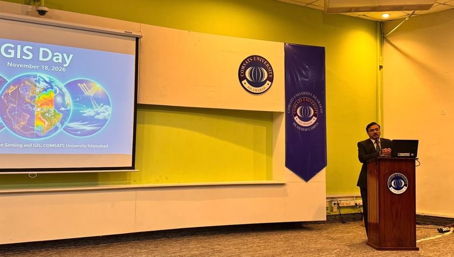
ISLAMABAD, November 18, 2026: The Department of Remote Sensing and GIS at COMSATS University Islamabad (CUI) celebrated GIS Day 2026 under the theme “GIS: Powering Purpose and Innovation,” bringing together students, faculty members and partner organisations to highlight advances in geospatial science.
The full-day event focused on the applications of Geographic Information Systems (GIS) in climate monitoring, disaster management, urban planning, biodiversity conservation, agriculture and evidence-based policymaking.
The programme featured technical sessions covering climate intervention strategies, open-source geospatial technologies, remote sensing research and GIS-enabled weather forecasting.
An exhibition showcased student-developed maps, posters and research projects, while networking sessions facilitated academic interaction, knowledge exchange and professional guidance between junior and graduating students.
Faculty members highlighted the department’s growing research engagement in climate intervention, solar radiation modification (SRM) and the application of geospatial technologies in climate governance.
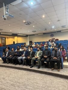
Speakers discussed the importance of spatial data in risk assessment, stakeholder engagement and the responsible evaluation of climate intervention strategies in Pakistan and South Asia.
CUI Campus In-charge Prof. Dr. Majid Iqbal commended the department for connecting students with industry, researchers and partner organisations, emphasising the importance of practical learning beyond classrooms.
Chairman Prof. Dr. Muhammad Imran Shahzad said geospatial science was increasingly helping transform data into decisions that protect lives and resources, particularly in climate monitoring and disaster response.
Head of Department Prof. Dr. Athar Hussain highlighted the department’s research initiatives in climate intervention and evidence-based policy analysis, noting the expanding role of GIS in governance beyond conventional mapping.
Organised in collaboration with the Snow Leopard Foundation and other partner organisations, the event also featured a welcome ceremony for junior students and an astronomy and stargazing session.
The celebration aimed to promote geospatial education, strengthen academic collaboration and encourage innovative research addressing environmental and sustainable development challenges.